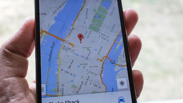
Google's free, accurate and sometimes life saving Maps are expanding again, this time adding 20 extra regions for user navigation. The majority of the new territories boost coverage in Africa, the Caribbean and South America. This handy navigation tool has probably helped most smartphone users to find their way at one time or another, having done a pretty impressive job mapping out most of the world already. The new countries ready for Google Maps navigation are yet another step forward to guide and direct people everywhere they go.

The Internet search giant has added the following navigation maps:
- African countries; Angola, Botswana, Madagascar, Malawi, Mali, Mauritius, Mozambique, Namibia, Tanzania.
- Americas and Caribbean; Bahamas, Bolivia, Guyana, Honduras, Jamaica, Trinidad and Tobago.
- Asia/Pacific countries; Fiji, Nepal and Sri Lanka.
- Europe; Mediterranean island nation Malta.
Although 20 new nations have been listed by Google, for some reason, the company has Trinidad and Tobago listed separately. Therefore to be accurate, only a total of 19 new countries were added. PhoneArena was kind enough to explain that Google are referring to regions and not specifically pointing out countries.
Google has not marked any of the new additions as offering 'limited coverage', meaning that users should be able to access driving and walking directions with the new maps. For those looking to travel to these countries in the future, Google Maps' navigation is now on hand to help prevent you getting lost in an unfamiliar territory. Please don't forget to get a SIM card you can use for your travels as, even though Google allows you to download a 50km square section of any map, you need a data connection for directions or navigation to work.


