Google has announced that its underwater Street View imagery collection has expanded with several new locations added. It's great to see this provision of further depth to Street View which has notably also gone as high up as Mount Everest and Kilimanjaro. Also last week we learned about another extension to Google Maps facilitated via the Tango smartphone – to map out your interior wanderings.

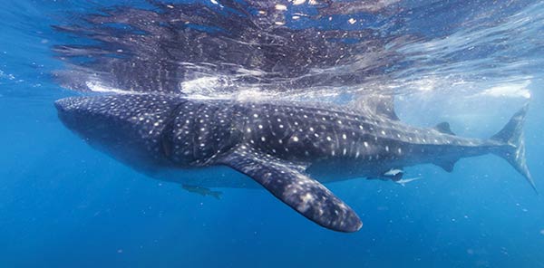
Whale Sharks at Isla Contoy
Underwater Street View first rolled out back in 2012 and has been expanding ever since. Google says that it aims to expand to the rest of the world's underwater treasures and expects a much larger collection in the next two years. Recent additions seem to focus mainly on areas around North and South America.

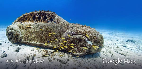
Underwater Museum of Isla Mujeres
The beautiful new images are a result of Google's partnership with Catalin Seaview Survey as the team uses several special underwater cameras to capture the panoramic images used for the project. Each excursion is said to take place over a 2-3 km area whilst comprising around 300-400 images which are stitched together later to form the panoramic images. The latest new routes include the San Francisco Shoreline, Larvotto Marine Reserve in Monaco and some off the coast of Isla Mujeres and Cancun in Mexico.
Previously featured in the collection are locations like Australia's Great Barrier Reef, the Philippines, Hawaii, off the cost of Bermuda, and the Galapagos Isles.
Here is the full clickable list of new locations, if you are in an exploring mood:


